
reviving trails
a mapping and documentation workshop to increase the visibility of community-maintained trails that have persisted for centuries in a landscape that is currently undergoing spontaneous rewilding
the challenge also seeks encourage novel ways to integrate these trails in slow mobility projects led by local development organizations within the broader territory
location
liminal embassy monti prenestini
lazio, italy
challenge period
august 26 – september 13 / 2024
6 days on the ground
challenge champions
status
complete
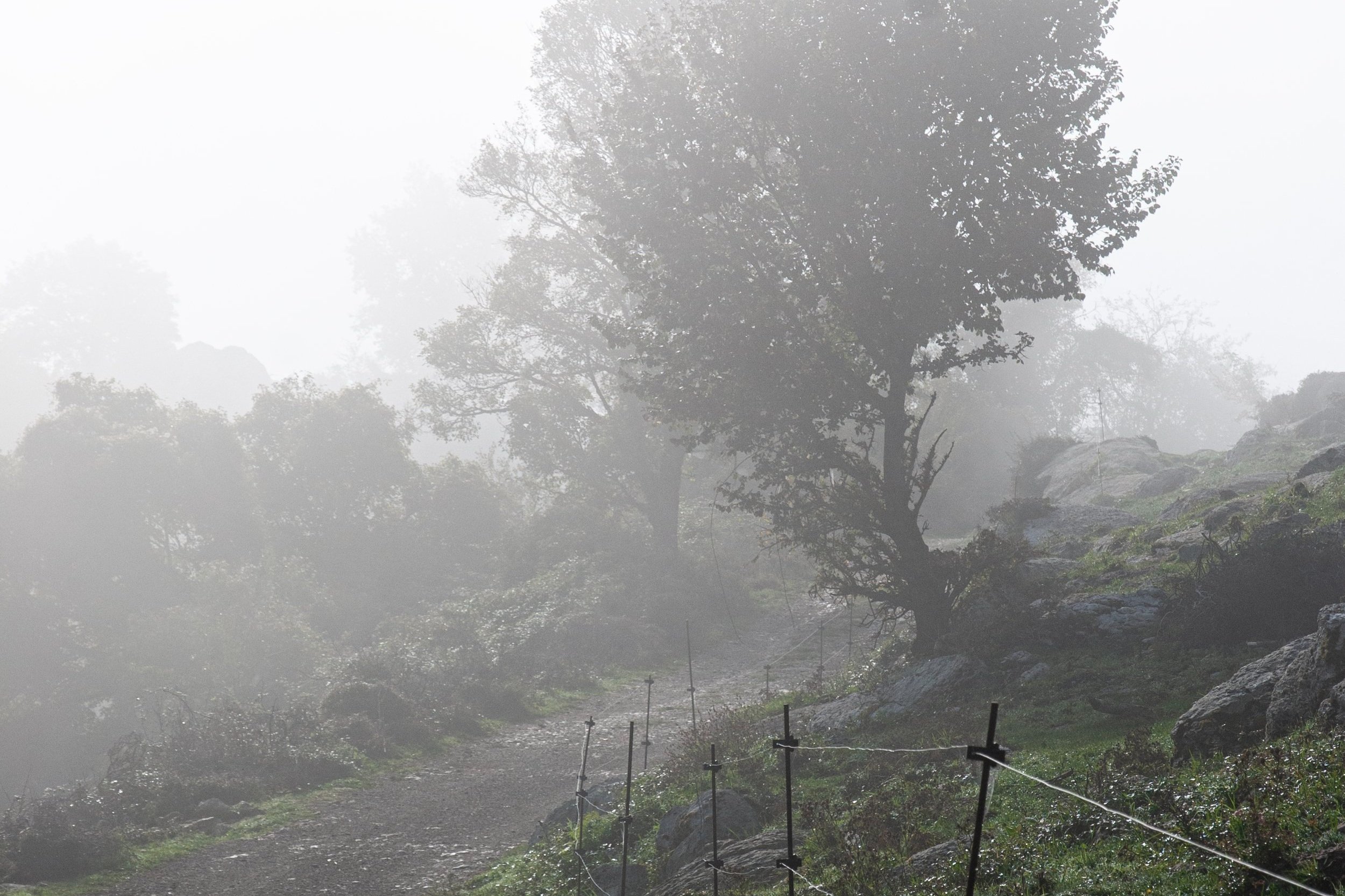
Reviving Trails is a participatory documentation and mapping effort focused on increasing the visibility of community-maintained trails that have persisted for centuries in a landscape that is currently undergoing spontaneous rewilding. This includes photographic and geospatial data, points of interest, and each trail's history. Trails have been the fundamental mobility infrastructure of the area for centuries, as heavily traveled arteries connecting the towns with the productive valleys. Today they are still an essential component of the territory, connecting monumenti naturali, settlements and historic sites, and ensuring the accessibility of natural areas in between the towns for both day-to-day usage and slow tourism. Trails are a basic form of infrastructure that keeps the territory navigable, and making sure they stay open is a necessary aspect of any regeneration strategy for Monti Prenestini.
Apart from mapping and documenting the trails to make them more digitally accessible to citizens of the greater Rome area, Reviving Trails also seeks to uncover how these paths can be integrated within the wider system of slow mobility under development in the area of Monti Prenestini and Castelli Romani. The challenge departs from the thesis that a detailed understanding, documentation and advocacy of these trails can make them protagonists of the 2023–2027 public investment cycle of the area’s local action group.
Reviving Trails is at the intersection of a series of challenges such as Transitioning a Landscape and Digital Paths. The former is aimed at designing a multi-year landscape laboratory in the evolving arid prairies of Monti Prenestini that can encourage innovative regeneration strategies. The latter, along with Weaving Urban Data, focuses on collecting data and documenting small towns in ways that increase their digital visibility and facilitate their use by younger generations.

expected outputs
integrations to liminal’s GIS database for monti prenestini
submittal of essential information and documentation about the trails on main hiking platforms
report on the findings and preliminary guidelines for future initiatives aimed at improving the accessibility, integration and maintenance of trails
partners
SDG areas
11. sustainable cities and communities
15. life on land
team status
2 spots available
member requests assessed on a rolling basis
useful skills & backgrounds
mapping, condition surveying, data analysis, GIS, indesign, photoshop, indesign, photography, italian
landscape architecture, territorial planning, ecology, agriculture, environmental history, geography, graphic design
perks
lodging (shared rooms)
national transportation (rail)
local transportation
workspace
welcome dinner
farewell dinner
lunches
conditions on
the ground
The challenge will take place in the prairies of Monti Prenestini. Participating members should expect to spend the majority of the day outdoors performing manual activities. The challenge will take place in small and underserved towns with spotty Wi-Fi connections and no AC. Members will likely share rooms with other participants.
schedule preview
remote
august 26 – august 30
calls & indipendent research
august 26 – august 30
2/3 calls
introductions
challenge overview
challenge review: transitioning a landscape
challenge review: digital paths and weaving urban data
fieldwork coordination
Introduction to GIS (optional)
on the ground
september 2 – september 7
full days
monti prenestini
september 2 – september 5
walk the main trails with CAI
correct geospatial data
identify points of interest
document the trails
identify key opportunities
september 5 – september 7
approach iteration brainstorming
completion of trail documentation
planning for remote phase
remote
september 9 – september 13
calls & independent research
september 9 – september 13
2 calls
documentation cleanup
finalization of approach iteration
trail data upload
dossier creation