
weaving urban data
a participatory mapping initiative to increase the accessibility of small, pedestrian-oriented towns by rendering essential urban data available to digital way-finding platforms
apart from incorporating unavailable baseline data, this challenge will be an opportunity to imagine novel ways to improve the livability of medieval towns through data-enabled methods
location
liminal embassy monti prenestini
lazio, italy
challenge period
august 5 – august 30 / 2024
6 days on the ground
challenge champions
status
complete
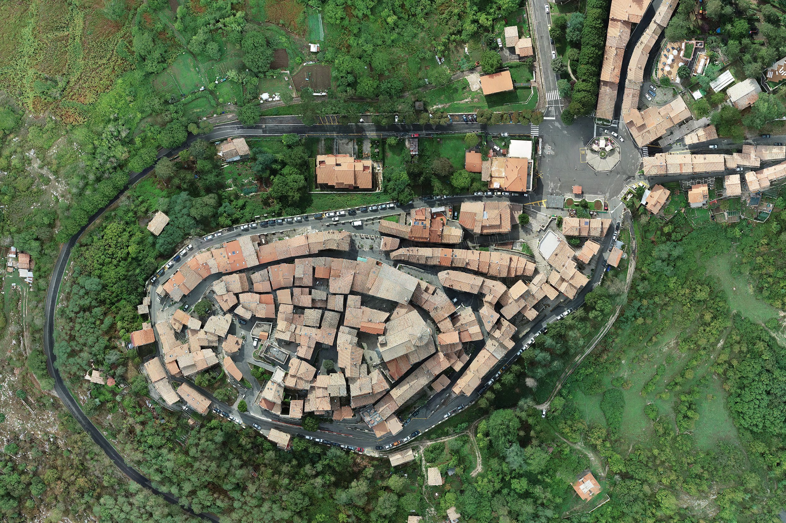
Weaving Urban Data is a participatory research effort focused on increasing the accessibility of pedestrian-oriented towns by integrating crucial urban data into digital way-finding platforms where they are lacking. This includes basic information such as street typology, traffic restrictions, street names and house numbers. The absence of this information disadvantages these towns by hindering the performance of most contemporary services that depend on geo-location in the area, from package delivery to keyless home rentals. It also increases the nuisances that travelers using way-finding platforms create for residents, for instance, within neighborhoods that may be closed off to vehicular traffic.
This challenge also seeks to creatively imagine further data-driven approaches through which to enhance the livability of these towns, opening up avenues for successive activity in the area. Weaving Urban Data is part of a series of challenges such as Digital Paths and Encouraging Reuse that are aimed at collecting data about the urban fabric of small towns, increasing their accessibility, and reprogramming unused real estate heritage. This challenge seeks to understand how more accurate data can address the livability standards of younger generations in small towns by performing a narrow and calculated experiment.
expected outputs
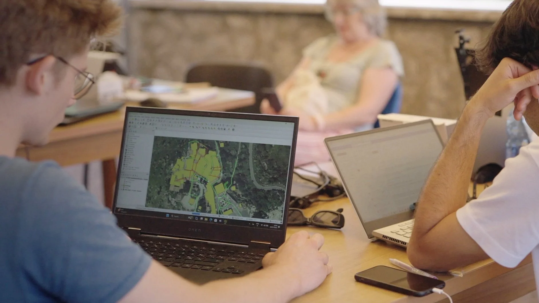
integrations to liminal’s GIS database for monti prenestini
submittal of essential information about building compounds and road networks missing on way-finding platforms
report on the findings and preliminary guidelines for future data-driven initiatives aimed at improving the accessibility of small towns
partners
GAL castelli romani e monti prenestini
comune di castel san pietro romano
comune di capranica prenestina
comune di rocca di cave
ministero della cultura
liminal is a google maps content partner
SDG areas
9. industry, innovation and infrastructure
11. sustainable cities and communities
team status
challenge team complete
useful skills & backgrounds
mapping, condition surveying, data analysis, programming, GIS, indesign, italian
urban design, city planning, computer science, graphic design, policy
perks
lodging (shared rooms)
local transportation
workspace with Wi-Fi
welcome aperitivo
farewell aperitivo
conditions on
the ground
The challenge will take place in small and underserved towns with spotty Wi-Fi connections and no AC. Members are expected to embrace life in these towns and remain in the region during the weekly rest day (usually Sundays). Members will likely share rooms with other participants.
schedule preview
remote
august 5 – august 14
calls & indipendent research
august 5 – august 9
2 calls
introductions
challenge overview
challenge review: encouraging reuse
challenge review: digital paths
august 12– august 14
2 calls
introduction to GIS (optional)
base file organization
fieldwork coordination
on the ground
august 19 – august 24
full days
monti prenestini
august 19 – august 21
mapping
data gap analysis
engagement with technicians
august 22 – august 24
data collection
method iteration brainstorming
planning for remote phase
remote
august 26 – august 30
calls & independent research
august 26 – august 30
2 calls
data analysis and cleanup
finalization of method iteration
data upload
dossier creation